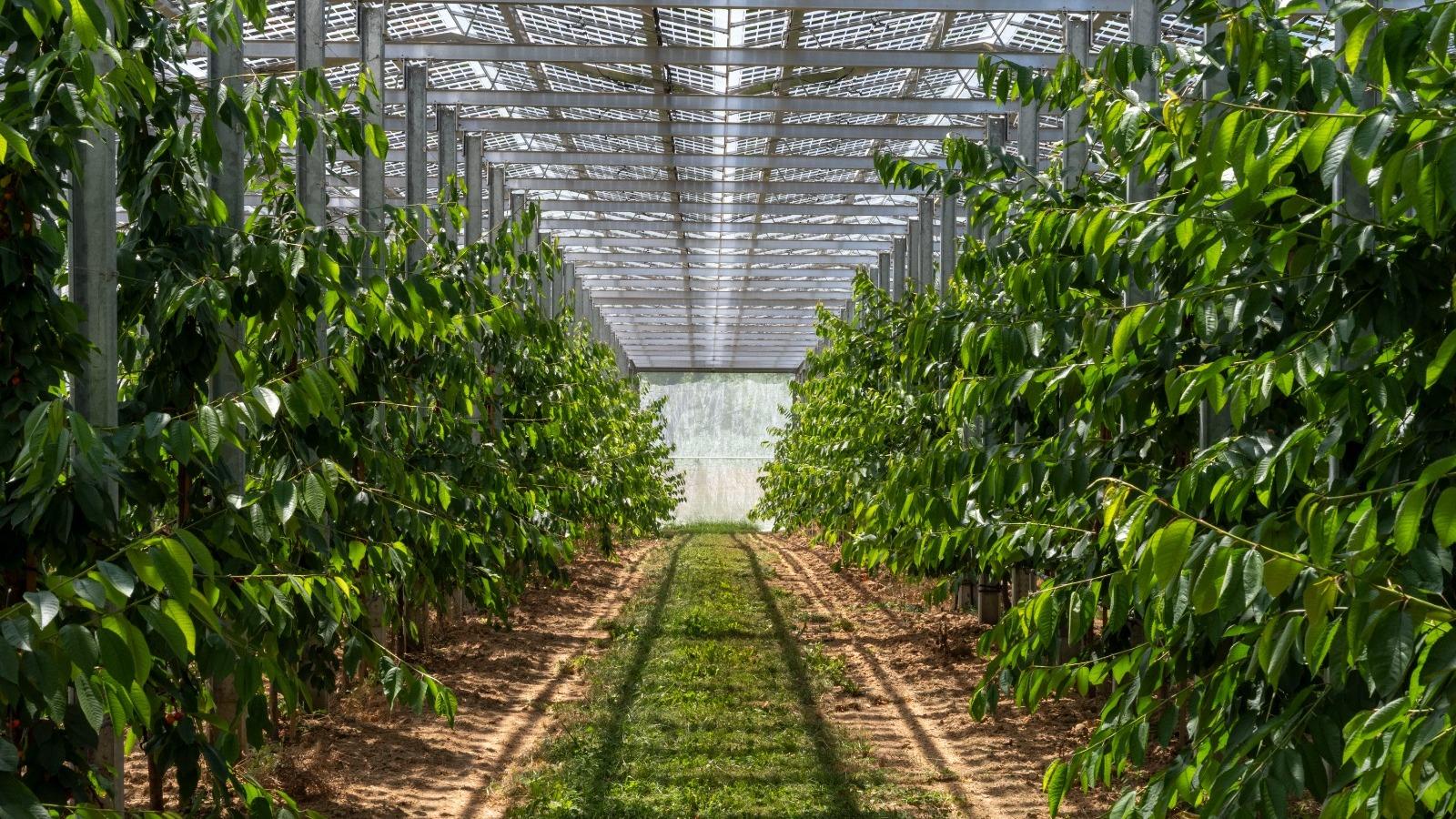
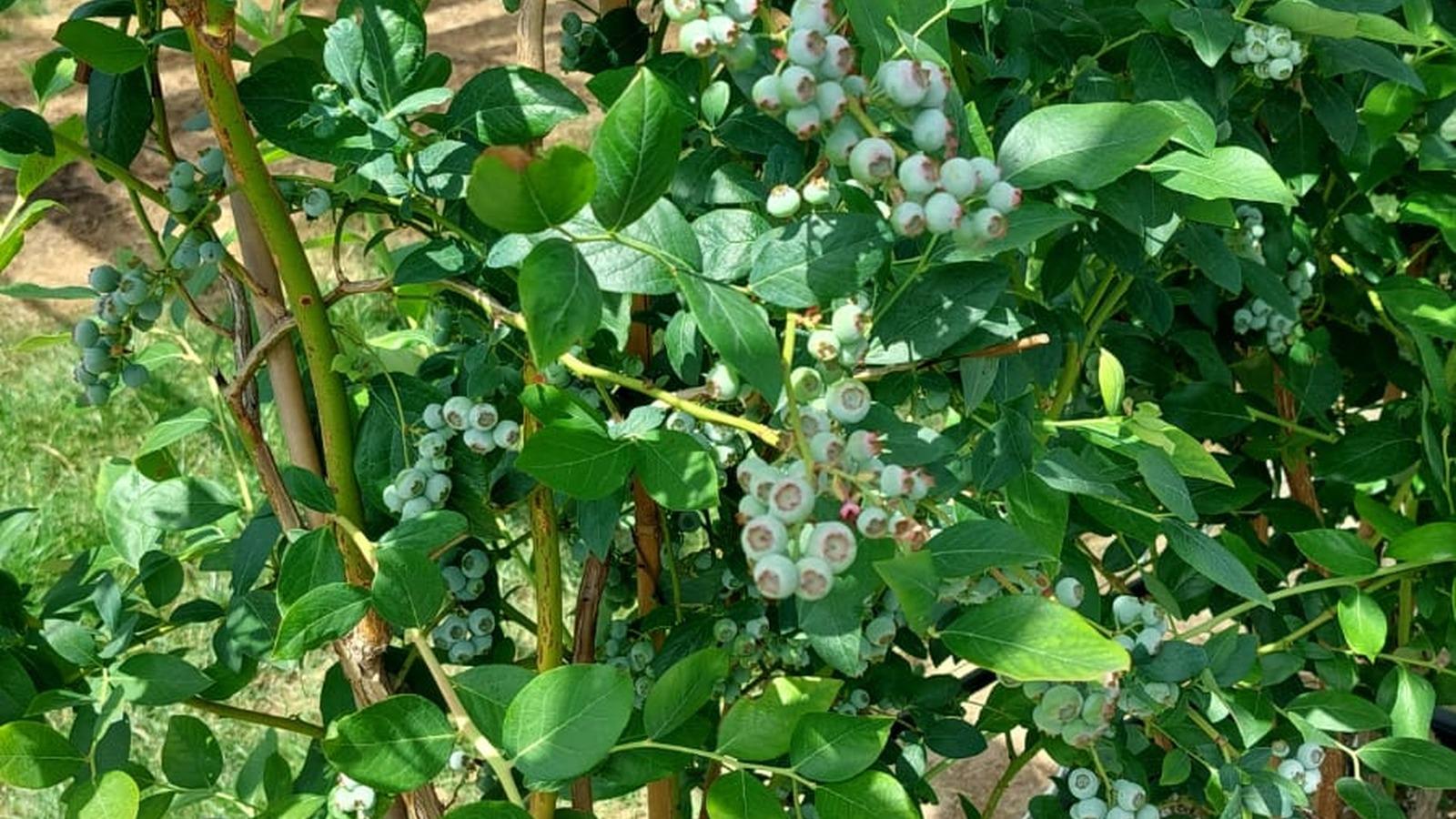
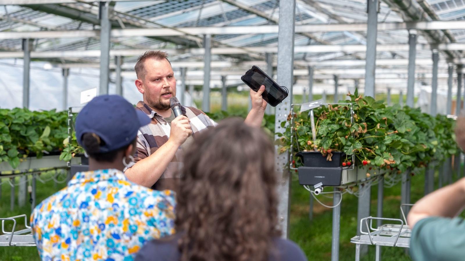
Aerial Multispectral Drones & In-Situ IoT: Closing the Crop Stress Gap
2.5 cm/px
Resolution
48 hrs prior
Early Detection
94.6%
Uniformity Index
Combining high-resolution multispectral drone flights with continuous ground telemetry creates an unbeatable early-warning system for canopy water stress.
The Limitations of Single-Modality Monitoring
Satellite Earth observation from Sentinel-2 provides invaluable regional trends at 10-meter resolution, but protected greenhouses and high-density orchards demand centimeter-level spatial insight.
Meanwhile, in-situ soil nodes provide high temporal resolution at specific points but cannot detect an isolated clogged emitter 40 meters down a row.
Multi-Tier Data Fusion in Practice
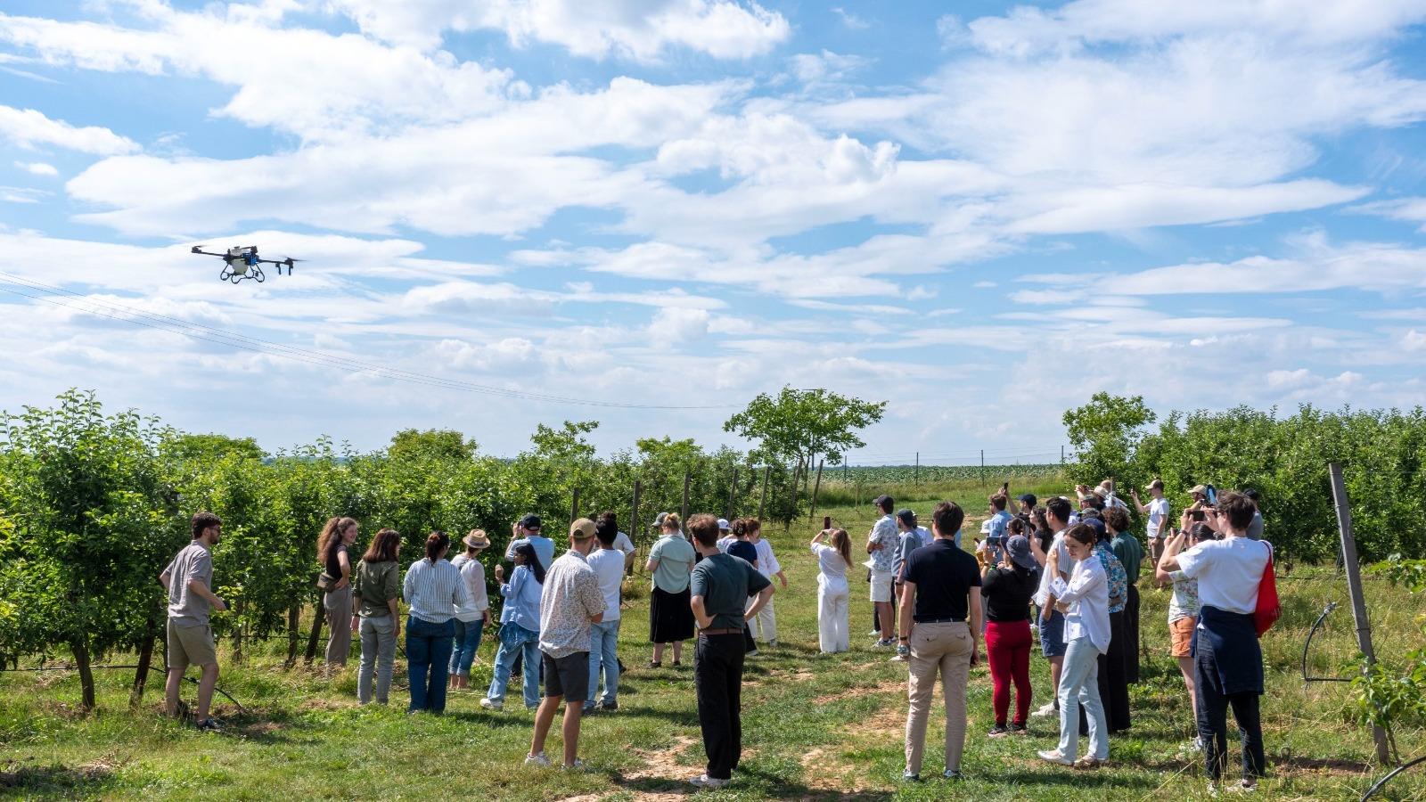
In our combined field trials, automated multispectral UAV surveys captured red-edge and near-infrared reflectance across 45 hectares. The IrrigSense AI pipeline cross-referenced spatial vegetation indices with real-time ground moisture readings.
The result is a comprehensive map highlighting localized pressure drops, line blockages, and canopy stress 48 hours before visible foliage discoloration occurs.
Key Takeaway
Ground telemetry detects when root zones dry out, while multispectral NDVI/NDRE drone flights pinpoint spatial emitter clogs and localized distribution non-uniformity across large orchards.
Ready to optimize your irrigation?
Connect with the IrrigSense team for a tailored parcel analysis and IoT demo.